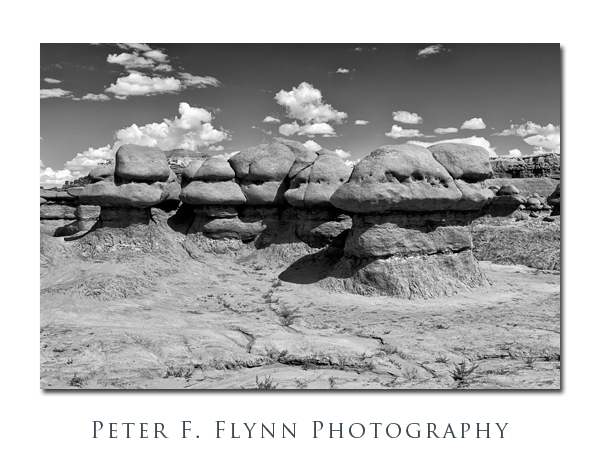
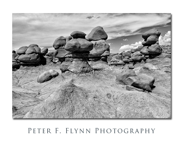
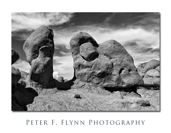
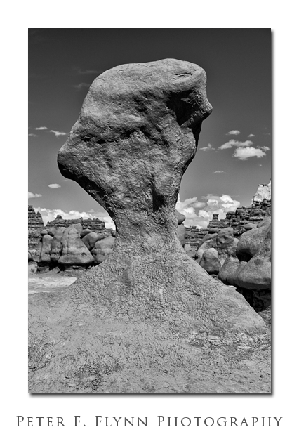
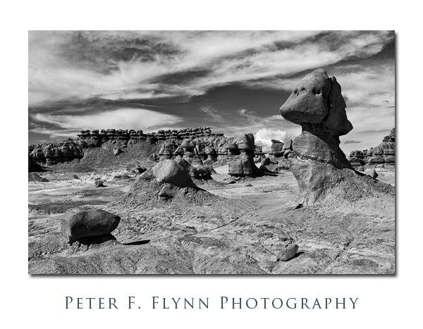
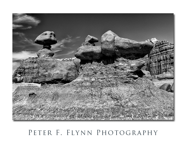
Goblin Valley, UT. Deposition and Erosion. For millions of years, sediments were carried by ancient streams and deposited in ancient lakes, forming what would eventually become alternating layers of sandstone, siltstone, and shale. Later, tectonic forces caused an uplifting of the region we now know as the Colorado Plateau. The forms we call Goblins are the result of erosion, with harder caps of sandstone lying above softer layers of siltstone and shale.
Based on the presence of Barrier Style Art nearby, we can presume that humans have been visiting the area for thousands of years. In historical times, the area was visited by cowboys throughout much of the 19th century. Arthur L. Chaffin, a prominent Utah engineer and entrepeneur, discovered the area with companions sometime in the 1920’s (Wikipedia ref). By the 1950’s, the area was actively being marketed to the world.
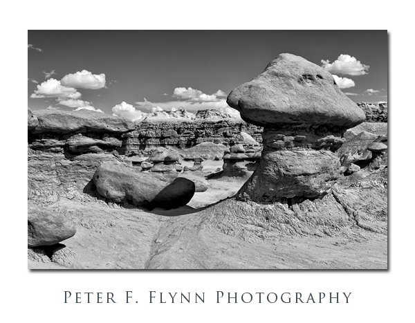
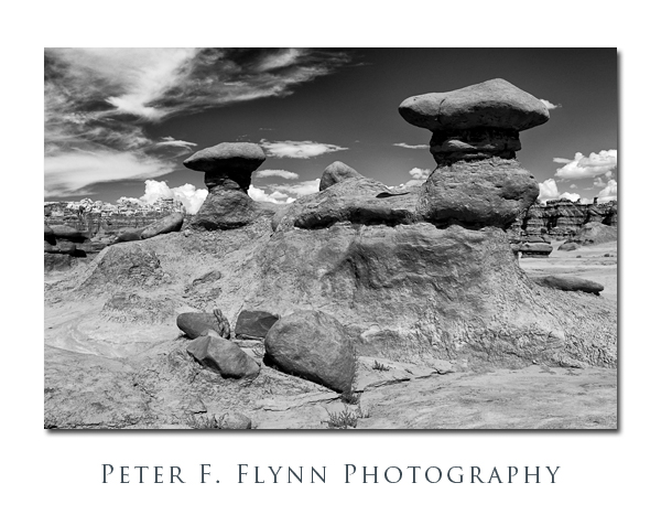 This unique geographical location was known for many years simply as Goblin Valley. More recently, the State of Utah, or perhaps Emery County Commissioners in league with local entrepreneurs, have seemed to want to rename the area ‘The Valley of the Goblins’, as if to give the area a more posh appellation. No matter what you call it, the small basin that contains what Mark Milligan has called the ‘wonderfully grotesque stone sculptures’, is a geological wonder not to be missed.
Goblin Valley may be reached from either the north or south from Utah State Route 24 (SR-24). SR-24 runs between US Highway 70, 11 miles west of Greenriver south to Hanksville, where it then veers west through Capitol Reef and Torrey to Bicknell, and then turns northeast, eventually ending at Salinas. From the north, travel south from the junction with US 70 about 24 miles to the junction with Temple Mountain Road. From the south, travel north from Hanksville about 19.5 miles to the Temple Mountain Road junction. Turn west onto Temple Mountain road and travel about 5 miles to the junction with Goblin Valley Road. Turn south onto Goblin Valley Road and travel 6.4 miles to the entrance station (daily use fee as of 12/2011 was $7.00 per vehicle). The valley overlook is 1.2 miles beyond the entrance station.
The two images directly above are representative examples of the structure of the Goblins, with the smooth rounded Entrada Sandstone caps near the center of the image on top of the softer gravely silt layer which dominates the lower right corner. The Goblins vary considerably in height, from a about one meter up to perhaps 10 meters.
Images in this entry were recorded between 16:00 and 17:00 MDT on August 28, 2011, using the Nikon D3s and the AF-S NIKKOR 24-70mm f/2.8G ED at various focal lengths. Exposures were f/11 and f/16, with shutter speeds of 1/125s and 1/80s respectively (+0.33 EV), ISO 200. The images were deliberately overexposed by 0.33 EV and normalized to correct exposure in Raw conversion (ACR 6.6) to reduce noise. Images were converted to BW using Nik Software Silver Efex Pro 2 with additional processing in Nik Color Efex Pro 4.
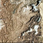
A Google Earth image of Goblin Valley is shown below:
An excellent guide to the geology of Goblin Valley written by Mark Milligan is available online:
Copyright 2011 Peter F. Flynn. No usage permitted without prior written consent. All rights reserved.
Tags: Goblin Valley State Park, San Rafael Reef, San Rafael Swell
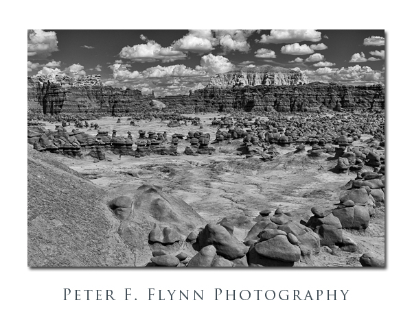
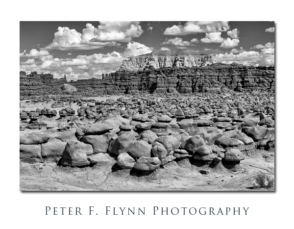

This set of Black and White is some of your strongest both in composition and processing. Great clouds. The 3rd up from the bottom 8th is just great, it and others yearn to be printed large. Good stuff keep it up.
HI B,
Thank you for your kind assessment. A grand day in the GV (or the V of the Gs…) – this is on average one of the hottest/driest locations in North American, but in the monsoon season we get these powerful T-storms looming around, with some excllent cloud formations.
Cheers,
P.