Archive for the ‘National Parks and Monuments’ Category

Porcelain Basin

Norris Geyser Basin

Norris Geyser Basin is a large geothermal area that lies near the conjunction of park roads that head south to Madison, east to Canyon village, and north to Mammoth Hot Springs.  Norris, as park denizens refer to it, is divided into three major areas by a trail system that depends largely on boardwalks: Porcelain Basin, Back Basin, and Back-of-the-Back Basin.  Back Basin and Back-of-the Back Basin are collectively labelled just Back Basin on Park maps, but visitors are likely to appreciate that these two areas are quite easily distinguished by the distinct levels of effort required to explore them.

Norris Geyser Basin

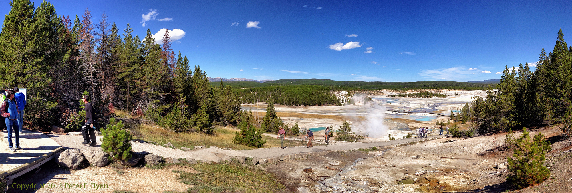
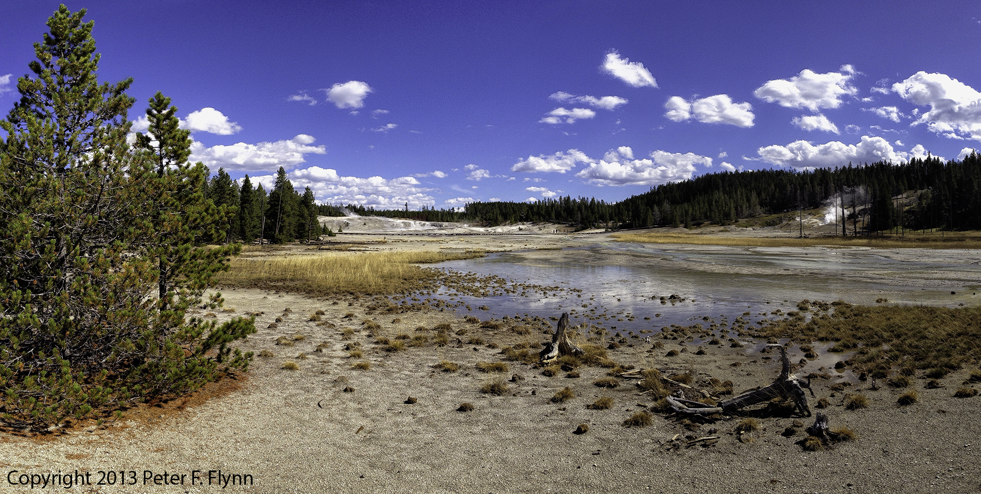
The most accessible, and in my view, the most rewarding area in Norris is Porcelain Basin.  I will post an entry on Back Basin in the future, but this entry will focus exclusively on the quite easily manageable circumnavigation of Porcelain Basin.  The area is located just north of the Norris Geyser Basin Museum, which itself is about 300 meters west of the parking area along a paved pathway.

Yellowstone National Park, Fall 2013

 Click on pano thumbnail above to view larger image

Yellowstone National Park, Fall 2013

 Click on pano thumbnail above to view larger image

n

Norris Geyser Basin

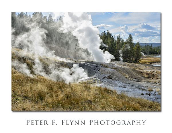
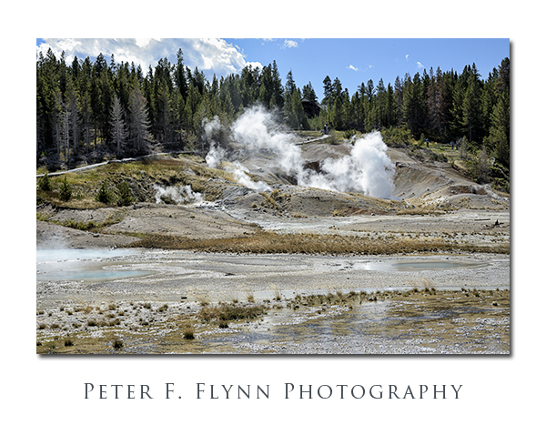
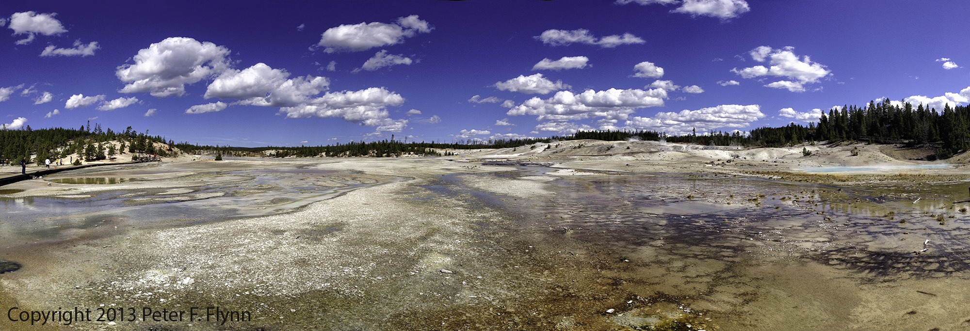
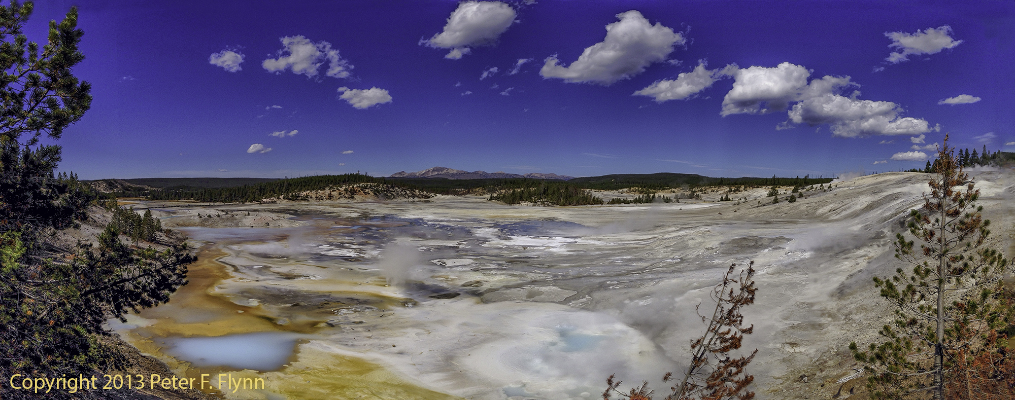
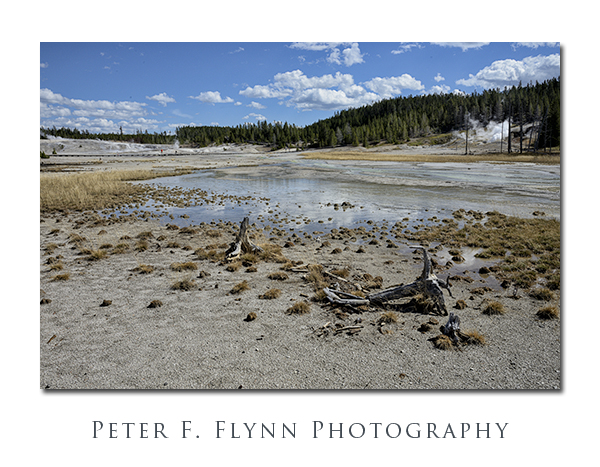
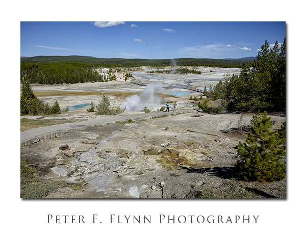
The two images above were recorded looking west from the paved trail that descends from the museum.
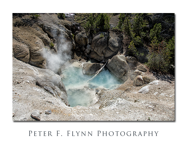
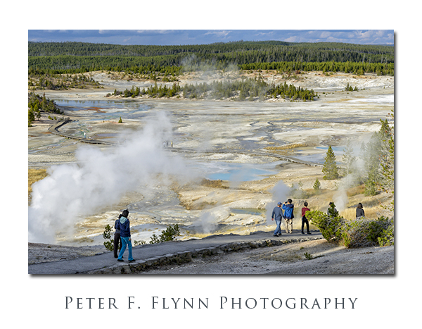
Norris Geyser BasinA warning to photogs along the descending pathways…  Prodigious quantities of steam are continuously produced by the Ledge Geyser.  The winds within the basin are characteristically changeable, and one can find themselves enveloped within a steam cloud instantly, virtually any time morning or afternoon.

Norris Geyser Basin

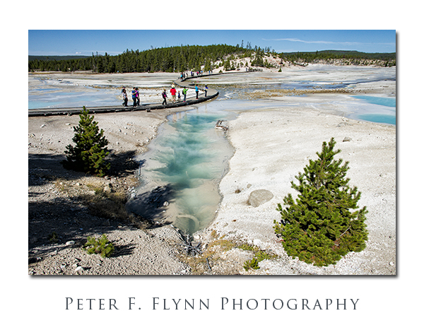
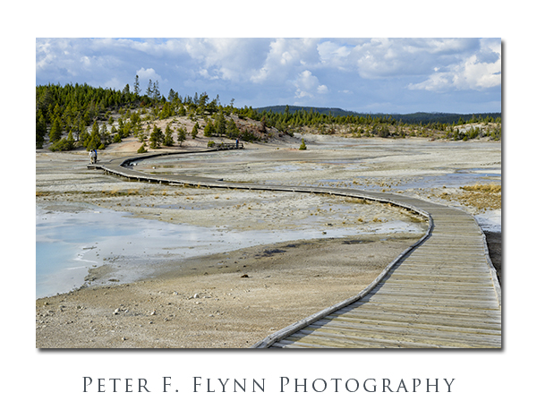
The route leads north down from the museum along a paved path that provides an excellent overview of Porcelain Basin.  After descending perhaps 50 meters, hikers encounter a fork in the path.  I suggest traveling along the east (right) leg, which places one on an anti-clockwise orientation around the basin.  Much of the route around the basin consists of a boardwalk in very good condition.  Guardrails provide an extra element of safety if you are totting children, but are also useful for leaning against while studying the terrain.

Norris Geyser Basin

A bit of backtracking is required if you wish to visit all of the major geothermal features in the basin.  I would highly recommend taking the extra time to visit Colloidal Pool, Hurricane Vent, and Porcelain Springs, all of which lie on an eastern spur of the main route.

Norris Geyser Basin

Yellowstone National Park, Fall 2013

 Click on pano thumbnail above to view larger image

Yellowstone National Park, Fall 2013

 Click on pano thumbnail above to view larger image

Yellowstone National Park, Fall 2013

 Click on pano thumbnail above to view larger image

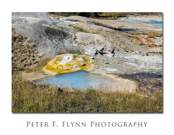
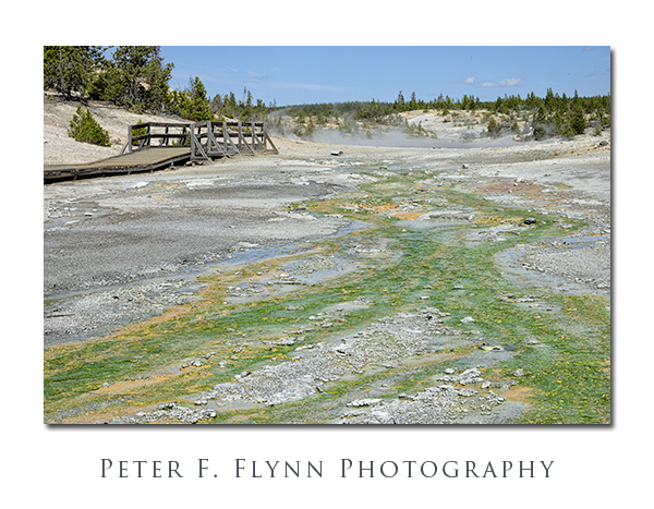
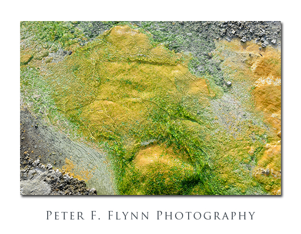
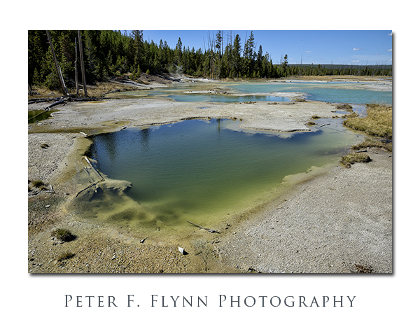
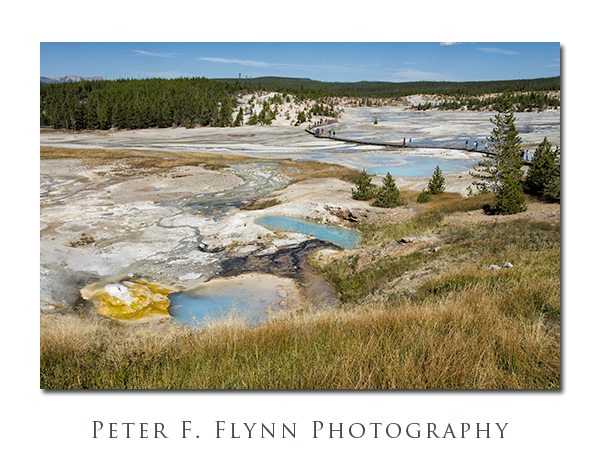
The name Porcelain Basin derives from the delicate white color of the mineral deposits in the area.  The light color of the surface contrasts with the stronger colors produced by the other mineral deposits, and from the colorful algae and bacteria that exist in the relatively hostile conditions found here.

Norris Geyser Basin

The main route leads north, bold and straight across Porcelain Basin.  The obvious, low-impact, route would have followed the high ground (east) around the circumference of the basin.  I can only guess that the current route was forged in early times, as environmental impact would appear to be maximized with the existing situation.  I have no idea how the boardwalk maintenance can be executed…  Regardless, the boardwalk is wide and stable.

Norris Geyser Basin

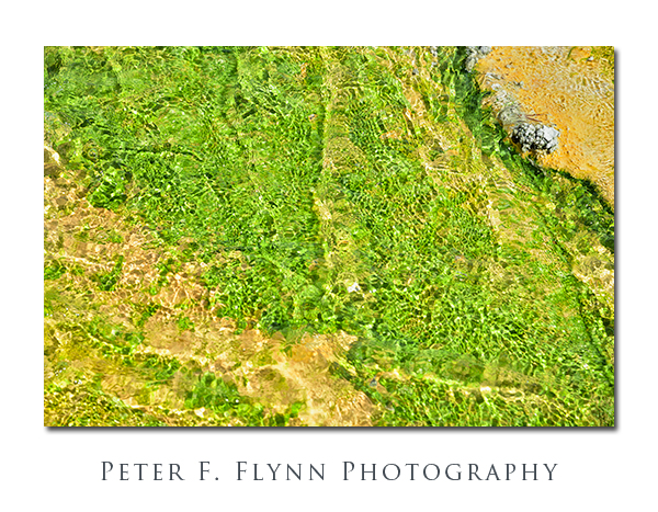
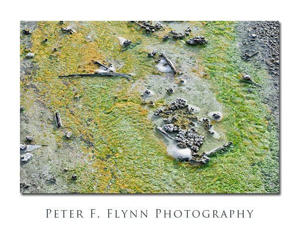
But in some parts of the basin the stream bed is green!  Really green…  This unlikely hue is due to the presence of Cyandium caldarium, an algae that exists only in environments with a pH between 0.5 and 5.0, and water temperatures between 35C and 55C.  Yeah, think hot acid solution.

Norris Geyser Basin

Norris Geyser BasinNorris Geyser Basin

You are unprepared for the intensity of the color and contrast.  We have scoured the earth for kooky natural phenomenon.  This is as good as it gets, just stunningly beautiful.

Yellowstone National Park, Fall 2013

 Click on pano thumbnail above to view larger image

The return side of the route provides a compelling view of the descent into the basin and the crossing.  Pick a time in the afternoon to walk the route and you will be rewarded with favorable light along the entire route.

Norris Geyser Basin

Norris Geyser Basin

Images in this entry were recorded on the afternoons of the September 21, 2012, and September 29, 2013, using the Nikon D800 and D800E at f-stop at f/11 or f/16.  Panoramic images were recorded using the Apple iP5 and the Autostitch acquisition application.

Copyright 2014 Peter F. Flynn.  No usage permitted without prior written consent. All rights reserved.
Inside the Tetons

All in all, Grand Teton National Park is arguably the most accessible of the big nature parks.  It is a manageable drive from Bozeman or Salt Lake City, or of course just about any place in Idaho.  Alternatively, you can fly literally right into the park, since landing in Jackson Hole Airport places you within park boundaries.  With Grand Teton NP you get the big views right from US Highway 89 (aka US 26), and indeed, it is enough for most folks just to stop at the overlooks and scope the mighty Teton massif.

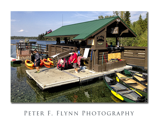
Jenny Lake Boat Dock

If you are the adventurous sort however, you may be compelled to explore the Tetons at closer range.  There are a variety of options to satisfy your curiosity about what lies within the range.  From the highway, the range may seem to be perfectly impenetrable, but in truth there are a number of routes that lead you deep into the heart of the granite wilderness.

Three major park trails lead up and into canyons that penetrate the Teton range.  From north to south they are the Paintbrush Canyon Trail, which begins at the Leigh and String Lakes Trailheads; Cascade Canyon Trail, which begins at the western side of Jenny Lake, near the shuttle boat dock; and the Lupine Meadows Trail, which leads into Garnet Canyon.

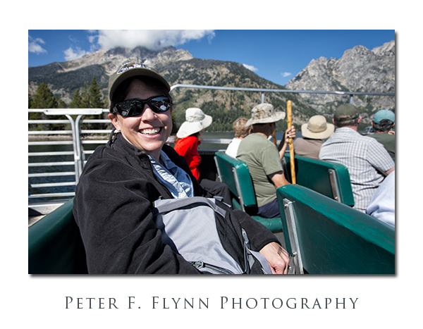
The HP on the Ride to Cascade Canyon

Clearly the most popular, and in my view, the best choice, is the path through Cascade Canyon.  This choice has the advantage of allowing the intrepid visitor the opportunity to incorporate the unique experience of the ride on the Jenny Lake shuttle boat to the start of the trail.

Cascade Cayon

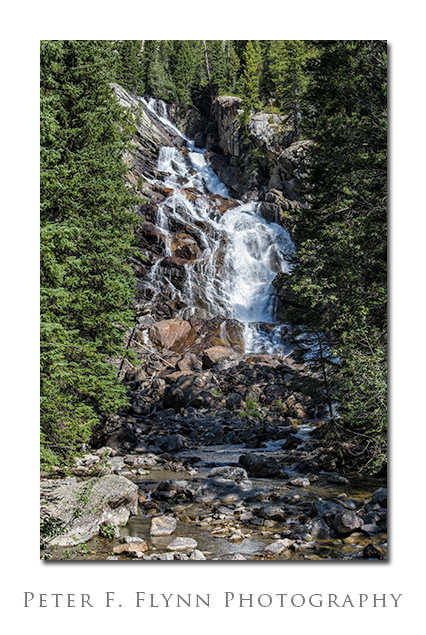
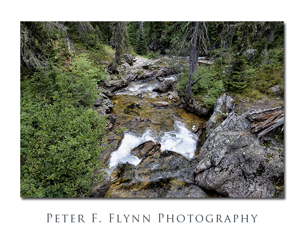
A short walk (0.6 miles) from the mouth of the canyon at the shore of Jenny Lake brings you to the Hidden Falls of Cascade Creek (above).  Cascade Creek will  be your faithful companion as you travel into Cascade Canyon and into the midst of the Teton peaks.

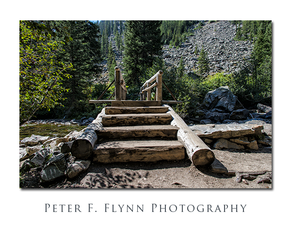
Bridge Over Cascade Creek

A number of bridges transverse back and forth over Cascade Creek.  All of these structures are built in that old-world WPA/CCC/NP style that conveys timelessness – built one time, the right way, for all time.

Cascade Canyon

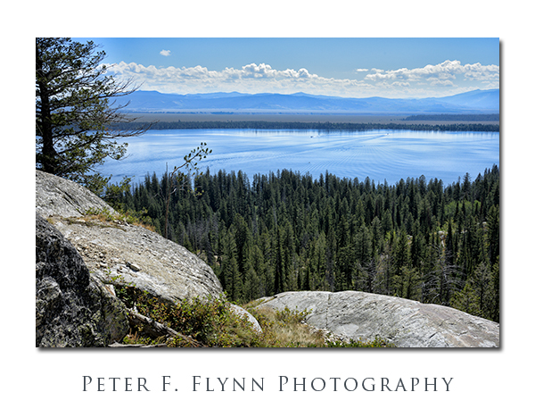
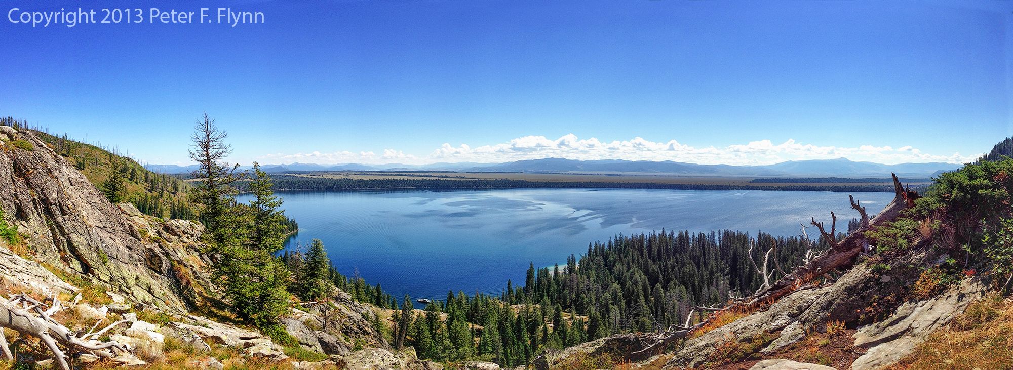
The trail past Hidden Falls ascends through several steep switchbacks built into the granite slope.  About 0.4 miles past Hidden Falls (1 mile total) and 400 ft of elevation gain (from the boat dock) along the Cascade Creek trail, brings you to Inspiration point.  Views from the point are shown above and below.

PFF_iP5_20130825_0065_Crop_4_blog

Click on pano thumbnail above to view larger image

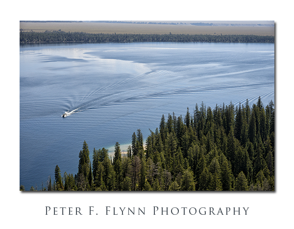
From Inspiration Point, looking east, you can watch the shuttle boats crossing Jenny Lake every quarter-hour.  For some, the walk up to the point is as far as they are compelled to venture.  There is more to see however, much more.

Cascade Canyon

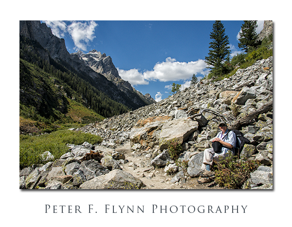
The route veers west, away from the point and into Cascade Canyon proper.  The walk begins in forest, but emerges into the open after about a quart of a mile and another 200 ft of elevation.  Below, the HP takes in the scenery, including Mount Owen shown in the background.

HP in Cascade Canyon

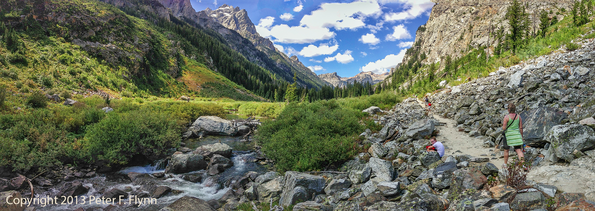
The path into the Tetons leads westward along Cascade Creek through meadows and across granite scree fields.  The path is virtually flat from this point onward all the way to the forks (see below).

PFF_iP5_20130825_0066_Crop_4_blog

Click on pano thumbnail above to view larger image

Cascade Canyon

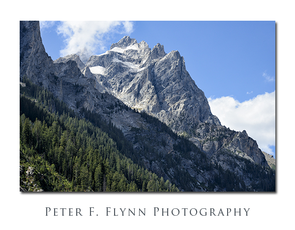
Even though you are quite literally right below the major summits of the Teton Range, including Grand Teton and Teewinot, the depth and shape of the canyon prevent a view of most of the peaks.  The exception is Mount Owen, shown above, which lies north and west of the other peaks.

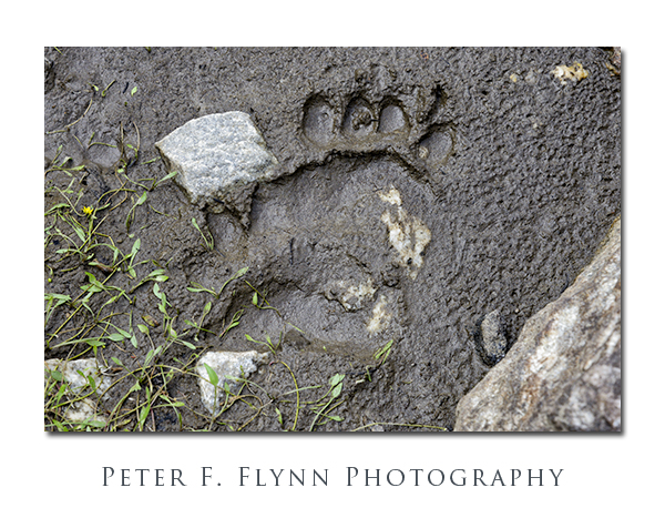
Bear Paw Print in Cascade Canyon

The lush flora present in Cascade Canyon invites all sorts of wild life, including pika, chipmunks, marmots, moose, squirrels, and the rarely sighted pine marten.  And yes, this is bear country, the evidence of which is shown above.   Travel into Cascade Canyon only with bear spray rigged in a ready-to-deploy condition.

Cascade Canyon

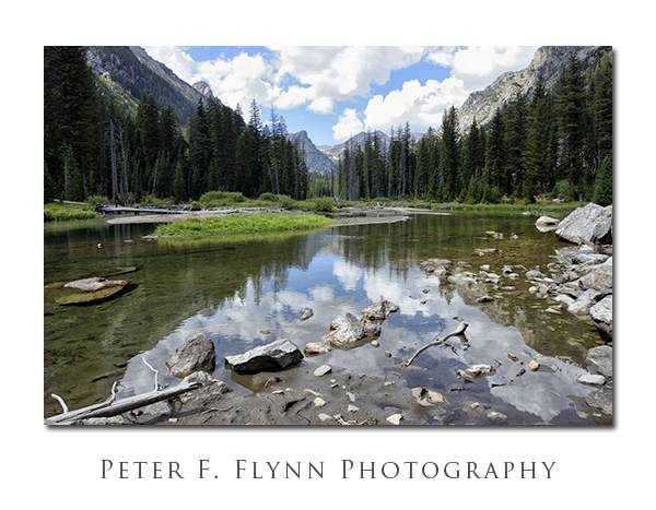
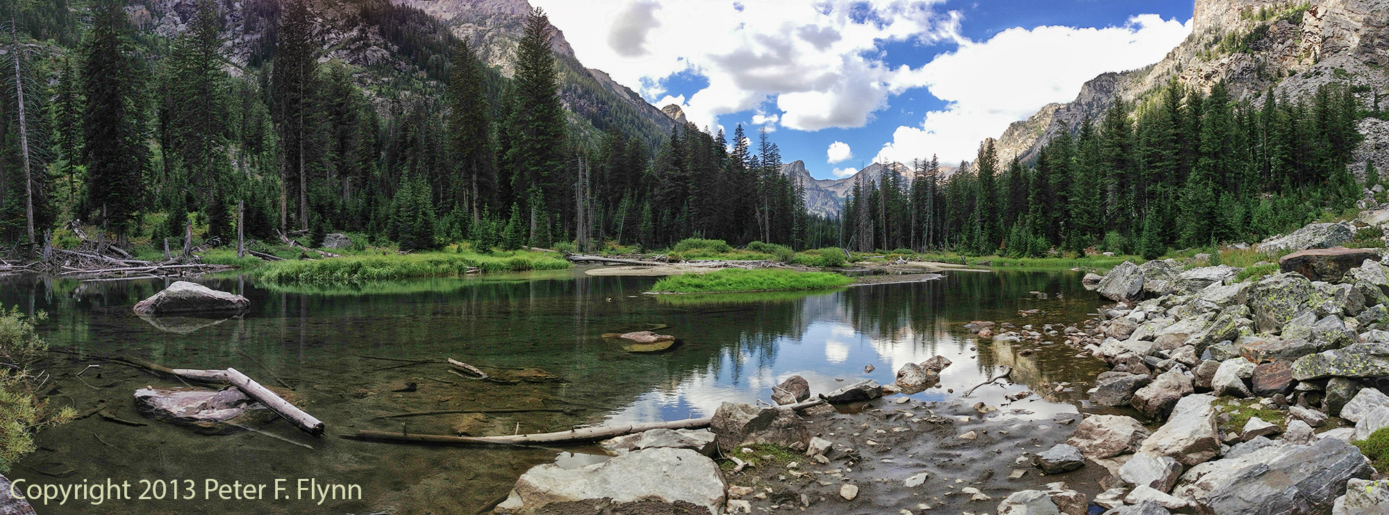
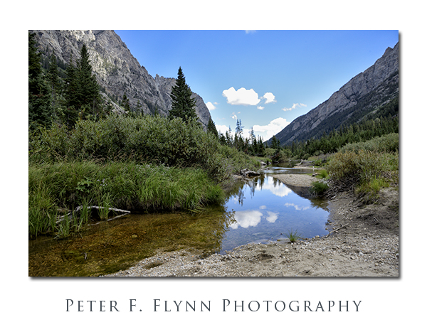
At several points along the trail, Cascade Creek meanders a bit, forming small lakes.  Here grasses, bushes, and trees grow thick and tall (see above and several below).

PFF_iP5_20130825_0069_Crop_4_blog

Click on pano thumbnail above to view larger image

Cascade Canyon

PFF_iP5_20130825_0072_Crop_4_blog

PFF_iP5_20130825_0070_Crop_4_blog

Click on pano thumbnails above to view larger images

Cascade Canyon

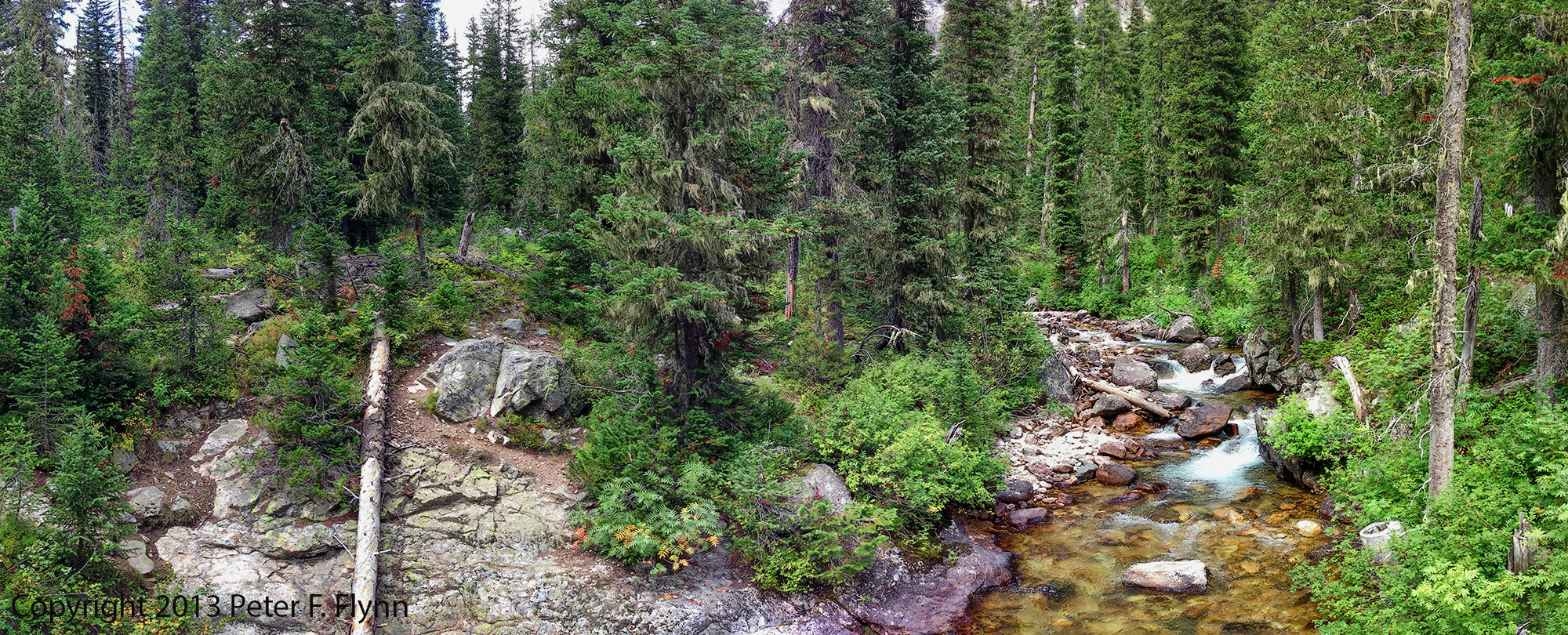
The forest closes in on Cascade Creek near the western end of the canyon.  By the time you reach the junction with the South Fork Trail, you are walking through dense forest.

PFF_iP5_20130825_0073_Crop_4_blog

Click on pano thumbnail above to view larger image

Capitol Domes from the Notom Road

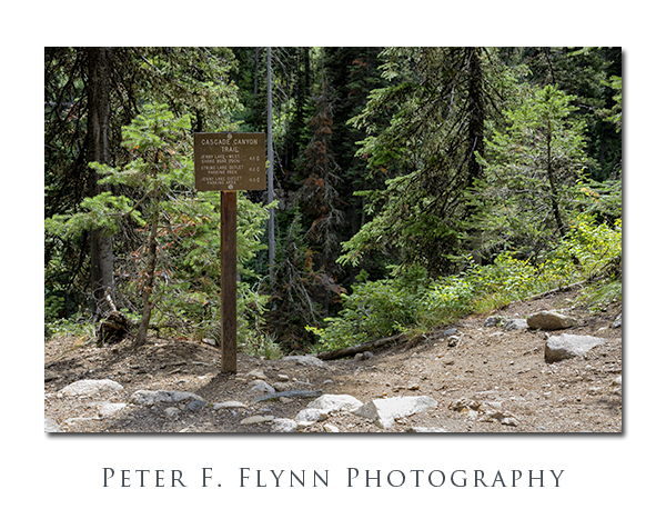
A clearing marked with the signpost* shown above confirms that you have reached the forks of Cascade Canyon.  From here, you can travel northwest another 2.7 miles along Cascade Creek to Lake Solitude.  Alternatively, you can travel along the South Fork to Hurricane Pass, with views of the Teton summits and Schoolroom Glacier.

We decided to turn around at the junction, having overheard that the trail up to Lake Solitude was rough and steep – happy to leave this for a day with an earlier start.

Full-frame images in this entry were recorded on August 25, 2013 between 10:30 and 16:45, using the Nikon D800 with the AF-S NIKKOR 24-120mm f/4G ED VR (mostly at 24mm).  Exposures were either f/11 or f/16, with shutter speed from 1/160s to 1/640s, ISO 1600.  Panoramic images were recorded using the iPhone 5 with the Autostitch application.

*The sign reads:

Cascade Canyon Trail

Jenny Lake – West Shore Boat Dock 4.5 <=

String Lake Outlet Parking Area 6.2 <=

Jenny Lake Outlet Parking Area 6.5 <=

Copyright 2013 Peter F. Flynn.  No usage permitted without prior written consent. All rights reserved.
The Tetons Beyond 830 nm

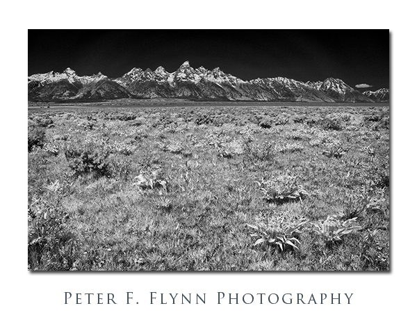
The Teton Range Beyond 830 nm

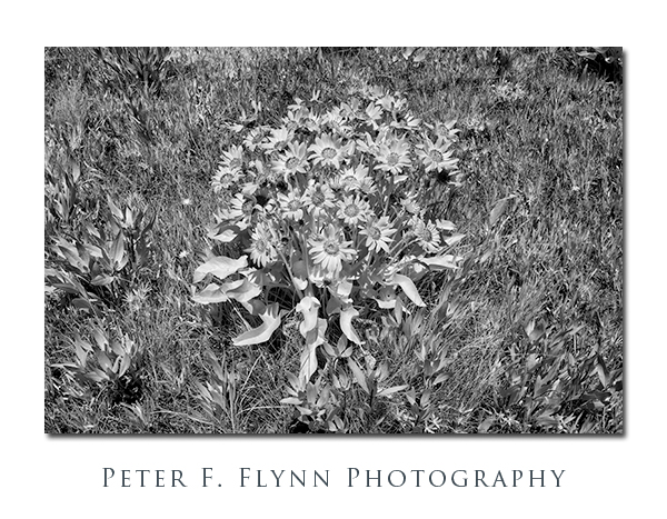
The images above and below were recorded at Antelope Flats.  The image above was recorded at 15:00 MDT on June 8, 2013 using the Nikon D200 converted to the Wratten 830nm filter cutoff by LifePixel Inc (aka the D200IR)**.  The lens used was the old but reliable AF-S Nikkor 18-70mm f/3.5-f/4.5G at 27mm.  Exposure was f/16 and 1/80s, ISO 100.  The image below was shot with the same setup, but with the lens at 50mm, and an exposure of f/16.0 and 1/30s, ISO 100.
Flowers in Antelope Flats

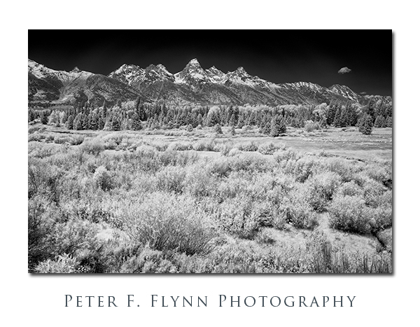
The Teton Range Beyond 830 nm

The image above was recorded at 15:00 MDT on June 8, 2013 using the Nikon D200IR and the 18-70mm lens at 27mm.  Exposure was f/16 and 1/10s, ISO 100.  The capture was made at the Blacktail Ponds Overlook.

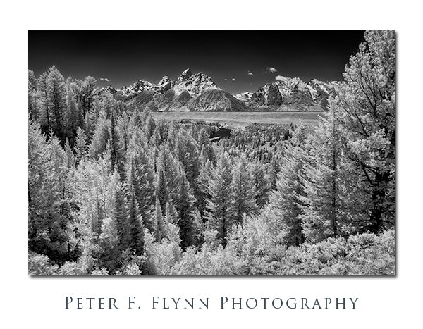
The Teton Range Beyond 830 nm

The image above was recorded at 15:00 MDT on June 8, 2013 using the Nikon D200IR and the 18-70mm lens at 27mm.  Exposure was f/16 and 1/10s, ISO 100.  This shot was taken at the famous Snake River Overlook.

**There are many IR conversion options, and the technical details are well-detailed on the LifePixel website.  Although the lower wave length cutoff filters, i.e., color IR filters, produce interesting images, I prefer the deep saturation and contrast generated by the ‘Deep BW IR’ filter, e.g, the 830nm cutoff filter.

Copyright 2013 Peter F. Flynn.  No usage permitted without prior written consent. All rights reserved.