All in all, Grand Teton National Park is arguably the most accessible of the big nature parks. It is a manageable drive from Bozeman or Salt Lake City, or of course just about any place in Idaho. Alternatively, you can fly literally right into the park, since landing in Jackson Hole Airport places you within park boundaries. With Grand Teton NP you get the big views right from US Highway 89 (aka US 26), and indeed, it is enough for most folks just to stop at the overlooks and scope the mighty Teton massif.
If you are the adventurous sort however, you may be compelled to explore the Tetons at closer range. There are a variety of options to satisfy your curiosity about what lies within the range. From the highway, the range may seem to be perfectly impenetrable, but in truth there are a number of routes that lead you deep into the heart of the granite wilderness.
Three major park trails lead up and into canyons that penetrate the Teton range. From north to south they are the Paintbrush Canyon Trail, which begins at the Leigh and String Lakes Trailheads; Cascade Canyon Trail, which begins at the western side of Jenny Lake, near the shuttle boat dock; and the Lupine Meadows Trail, which leads into Garnet Canyon.
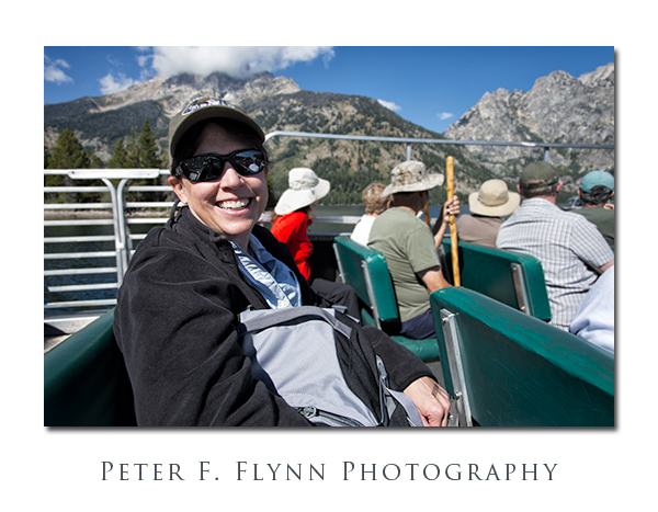
Clearly the most popular, and in my view, the best choice, is the path through Cascade Canyon. This choice has the advantage of allowing the intrepid visitor the opportunity to incorporate the unique experience of the ride on the Jenny Lake shuttle boat to the start of the trail.
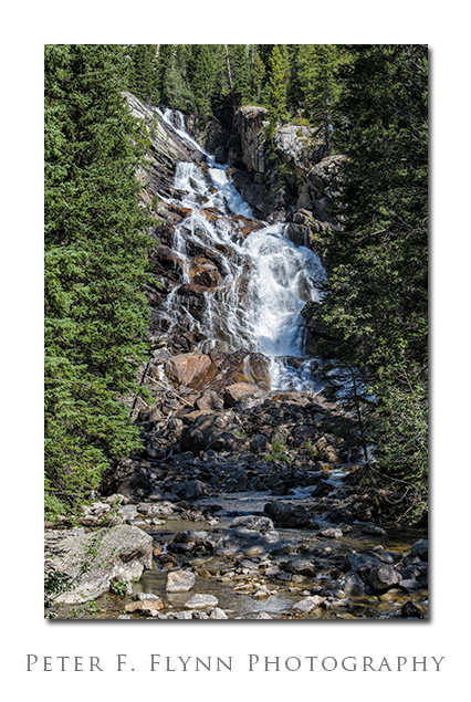
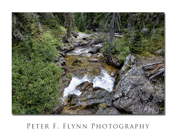
A short walk (0.6 miles) from the mouth of the canyon at the shore of Jenny Lake brings you to the Hidden Falls of Cascade Creek (above). Cascade Creek will be your faithful companion as you travel into Cascade Canyon and into the midst of the Teton peaks.
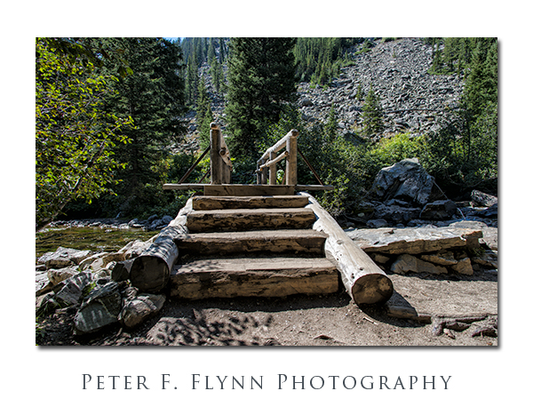
A number of bridges transverse back and forth over Cascade Creek. All of these structures are built in that old-world WPA/CCC/NP style that conveys timelessness – built one time, the right way, for all time.
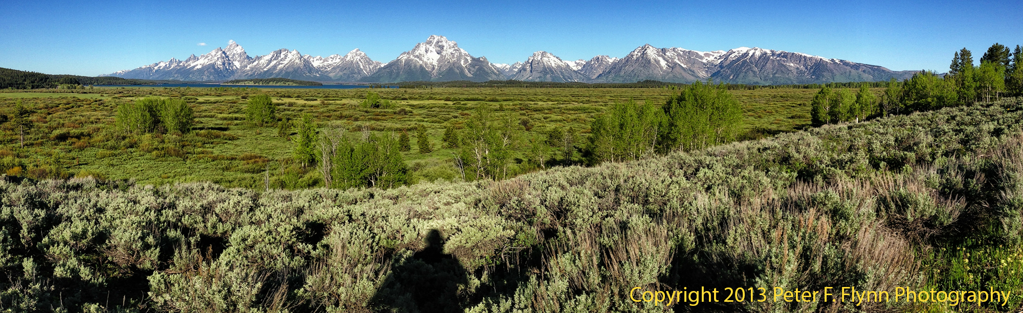
The trail past Hidden Falls ascends through several steep switchbacks built into the granite slope. About 0.4 miles past Hidden Falls (1 mile total) and 400 ft of elevation gain (from the boat dock) along the Cascade Creek trail, brings you to Inspiration point. Views from the point are shown above and below.
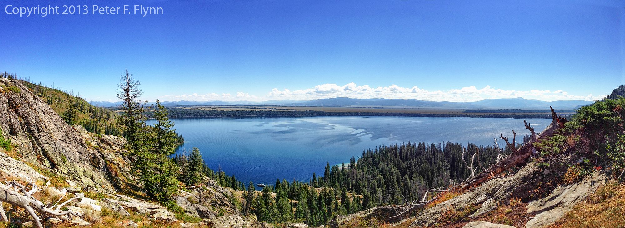
Click on pano thumbnail above to view larger image
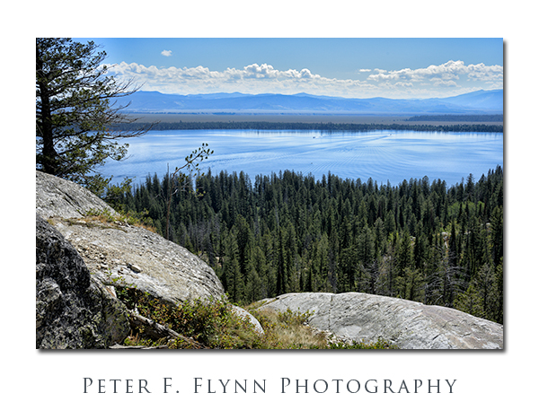
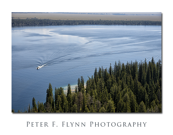
From Inspiration Point, looking east, you can watch the shuttle boats crossing Jenny Lake every quarter-hour. For some, the walk up to the point is as far as they are compelled to venture. There is more to see however, much more.
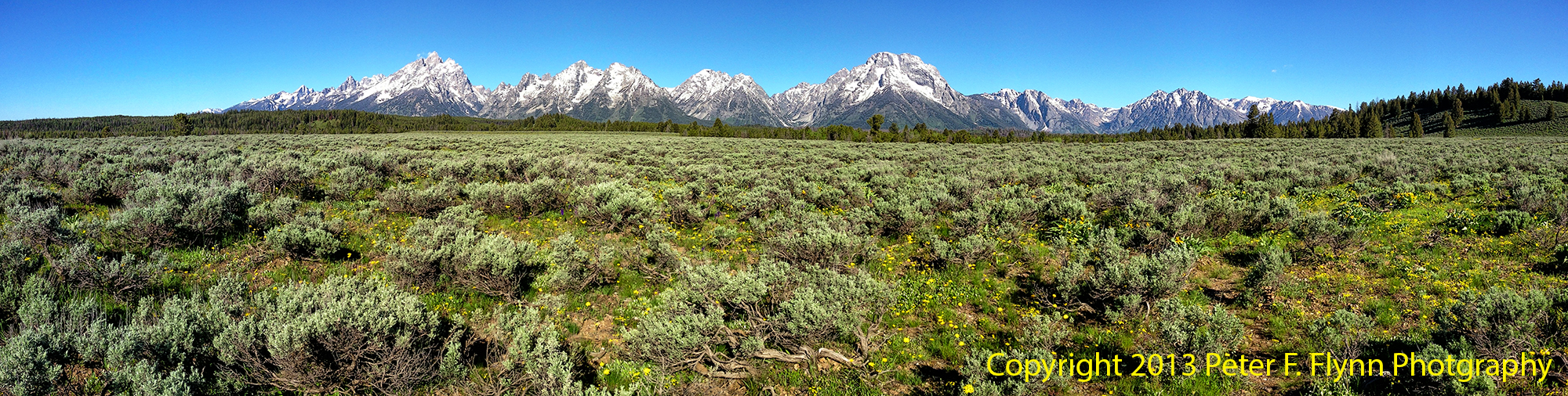
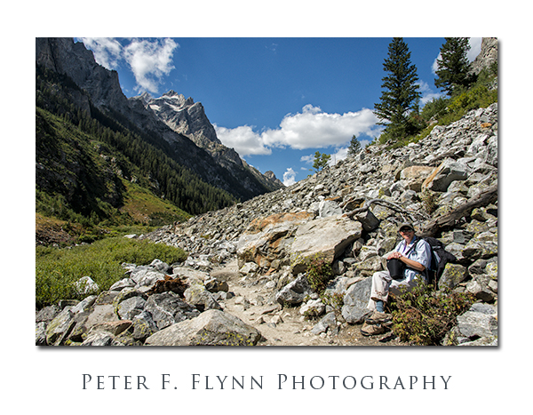
The route veers west, away from the point and into Cascade Canyon proper. The walk begins in forest, but emerges into the open after about a quart of a mile and another 200 ft of elevation. Below, the HP takes in the scenery, including Mount Owen shown in the background.
The path into the Tetons leads westward along Cascade Creek through meadows and across granite scree fields. The path is virtually flat from this point onward all the way to the forks (see below).
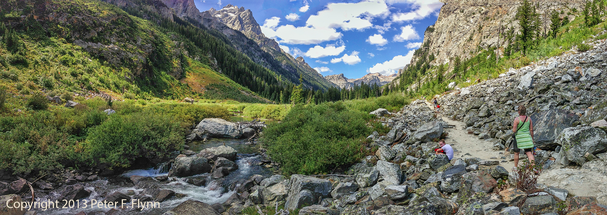
Click on pano thumbnail above to view larger image
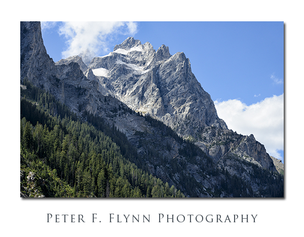
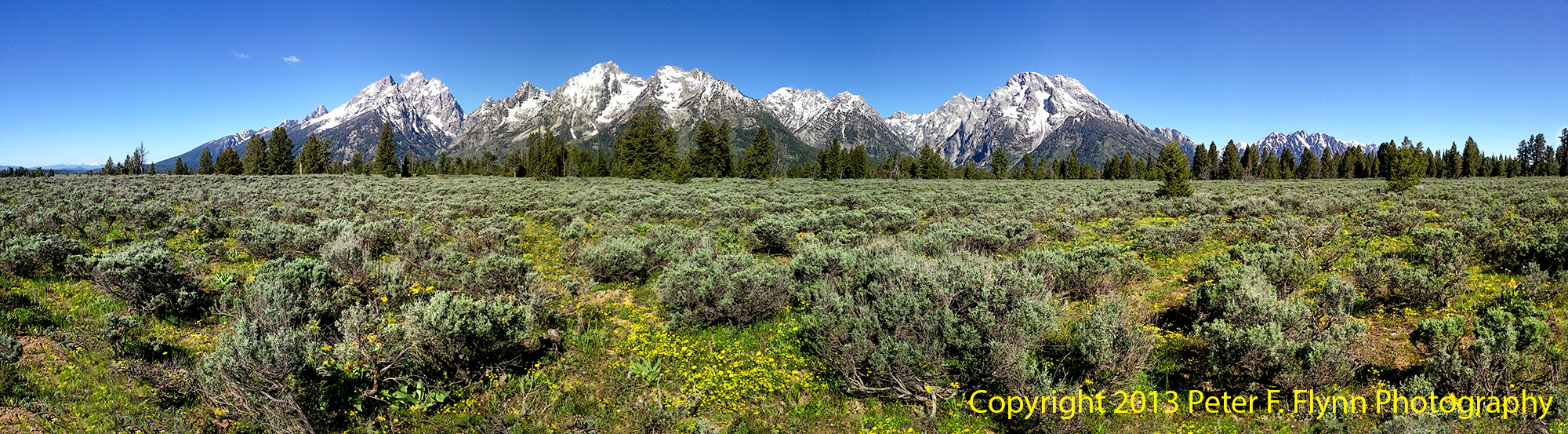
Even though you are quite literally right below the major summits of the Teton Range, including Grand Teton and Teewinot, the depth and shape of the canyon prevent a view of most of the peaks. The exception is Mount Owen, shown above, which lies north and west of the other peaks.
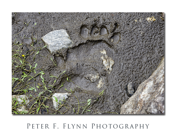
The lush flora present in Cascade Canyon invites all sorts of wild life, including pika, chipmunks, marmots, moose, squirrels, and the rarely sighted pine marten. And yes, this is bear country, the evidence of which is shown above. Travel into Cascade Canyon only with bear spray rigged in a ready-to-deploy condition.
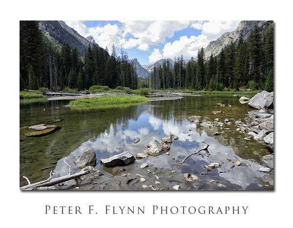
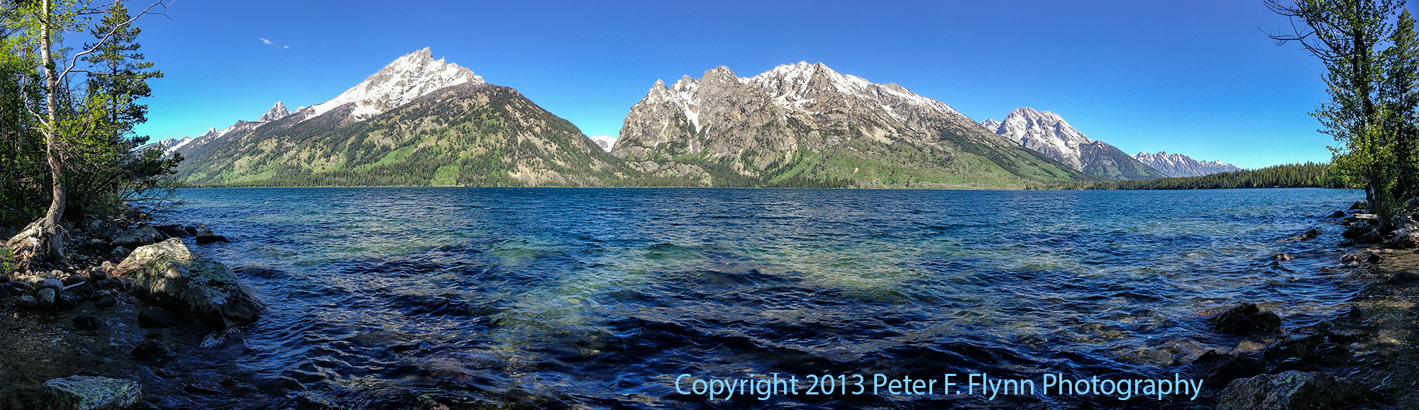
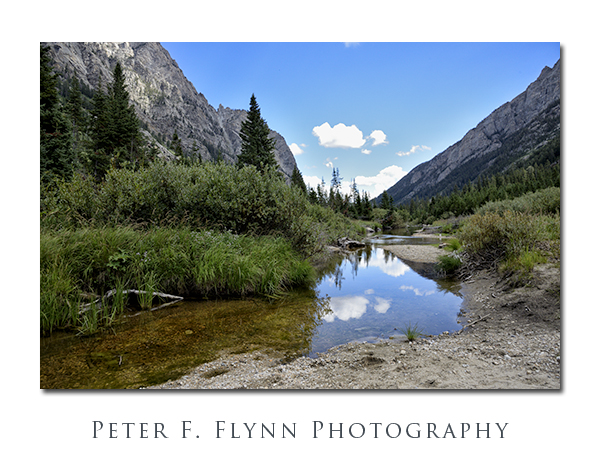
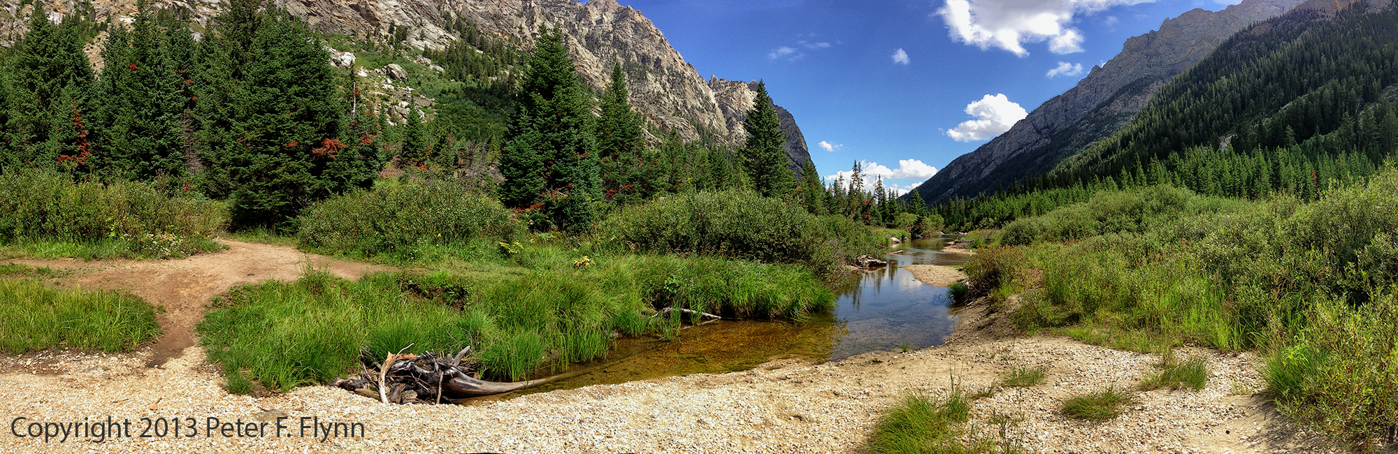
At several points along the trail, Cascade Creek meanders a bit, forming small lakes. Here grasses, bushes, and trees grow thick and tall (see above and several below).
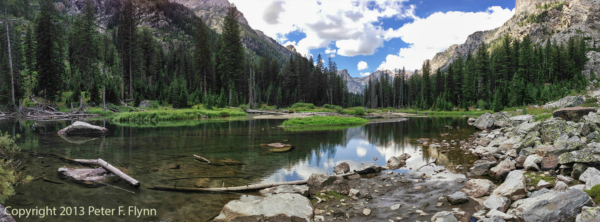
Click on pano thumbnail above to view larger image

Click on pano thumbnails above to view larger images
The forest closes in on Cascade Creek near the western end of the canyon. By the time you reach the junction with the South Fork Trail, you are walking through dense forest.
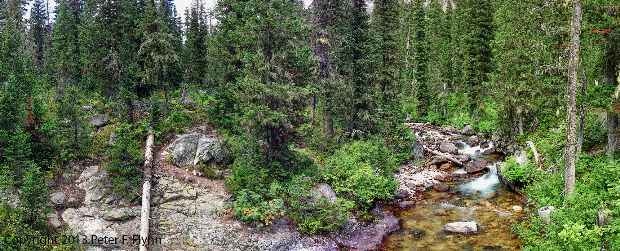
Click on pano thumbnail above to view larger image
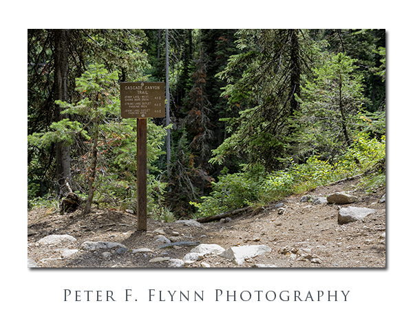
A clearing marked with the signpost* shown above confirms that you have reached the forks of Cascade Canyon. From here, you can travel northwest another 2.7 miles along Cascade Creek to Lake Solitude. Alternatively, you can travel along the South Fork to Hurricane Pass, with views of the Teton summits and Schoolroom Glacier.
We decided to turn around at the junction, having overheard that the trail up to Lake Solitude was rough and steep – happy to leave this for a day with an earlier start.
Full-frame images in this entry were recorded on August 25, 2013 between 10:30 and 16:45, using the Nikon D800 with the AF-S NIKKOR 24-120mm f/4G ED VR (mostly at 24mm). Exposures were either f/11 or f/16, with shutter speed from 1/160s to 1/640s, ISO 1600. Panoramic images were recorded using the iPhone 5 with the Autostitch application.
*The sign reads:
Cascade Canyon Trail
Jenny Lake – West Shore Boat Dock 4.5 <=
String Lake Outlet Parking Area 6.2 <=
Jenny Lake Outlet Parking Area 6.5 <=
Copyright 2013 Peter F. Flynn. No usage permitted without prior written consent. All rights reserved.