It is one of the great drives of the earth. The Notom-Bullfrog Road (NBR) runs parallel along much of the spectacular 100-mile-long Waterpocket Fold. The Waterpocket Fold, or locally, simply The Fold, is a monocline, which is a geological term that suggests a step. The NBR links Utah State Route 24 (SR-24) with the Bullfrog Bay Marina in Glen Canyon National Recreation Area (aka Lake Powell). The entrance to the Notom-Bullfrog Road is located approximately 9 miles east of the Capitol Reef NP Visitor’s Center along SR-24, with an alternative entrance another 3.6 further east along SR-24. The overall distance from SR-24 and the Bullfrog Bay marina boat ramp is approximately 68 miles. The northernmost 10 miles and the southernmost 25 miles of the NBR are paved, but in between it is basically a wide ATV track.
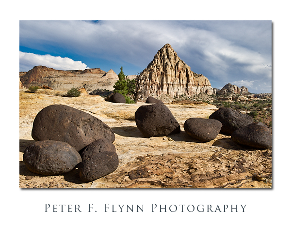
The view at the beginning of the traverse is dominated by the eponymous Capitol Reef domes shown above. There are all sorts of options here, from wide angle view as above through tight telephoto shots of the domes. The view is toward the southeast, so the best times for photography will be in the morning hours. The image above was recorded at 09:00 MDT on AUgust 26, 2011 using the Nikon D3s and the AF-S NIKKOR 24-70mm f/2.8G ED at 56mm. Exposure was f/11 and 1/400s (+0.33EV, normalized in post-processing), ISO at 400.
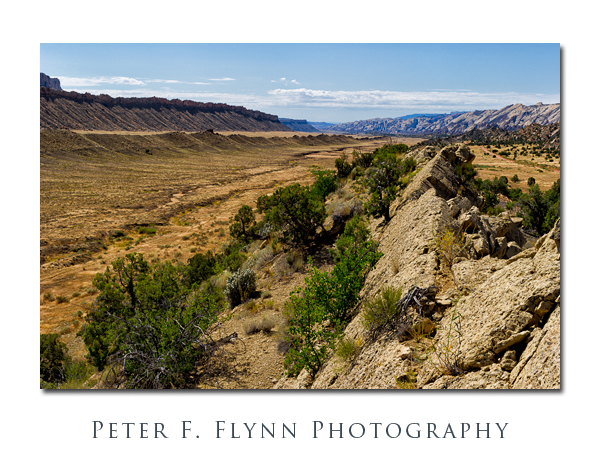
The NBR crosses countless washes as the route continues southward. After about 4 mile from the junction of the NBR and SR-24, the road meanders through several growing fields. By this point it will be clear that you have been traveling through a desert, and the prescence of brilliantly green alfalfa fields comes off as a bit of a shock. As the NBR crosses from Wayne County into Garfield County (about 10 miles south the the NBR/SR-44 junction) the road changes from a narrow paved surface to a graded dirt surface. As the road continues south it draws closer to the Capitol Reef monocline and at about 25 miles south of the junction with SR-24, the NBR enters Strike Valley.
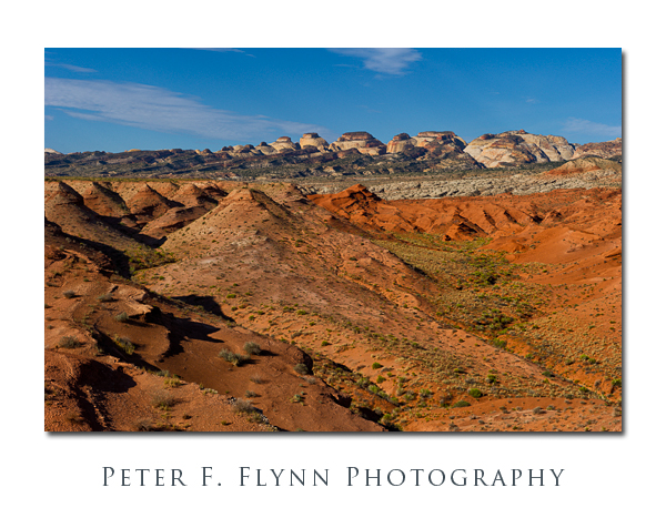
The image above was made looking south from on top of a ridge that along the center of Strike Valley. The image was recorded at around 11:00 MDT on August 26, 2011, using the D3s and the AF-S NIKKOR 24-70mm f/2.8G ED at 48mm. Exposure was f/16 and 1/100s (+0.33EV, normalized in post-processing), ISO at 200.
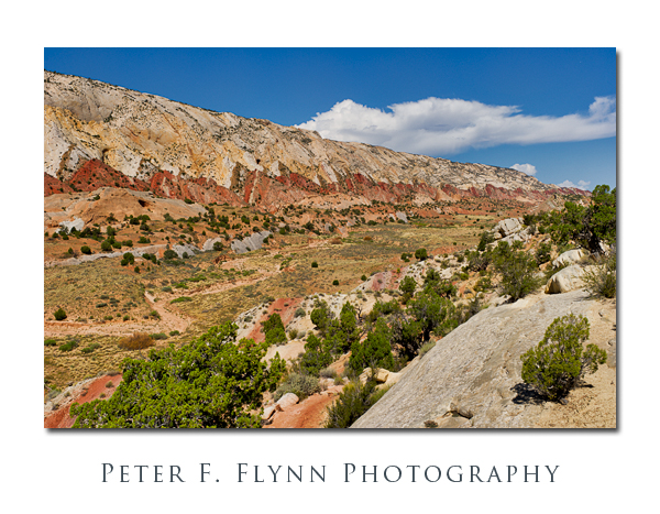
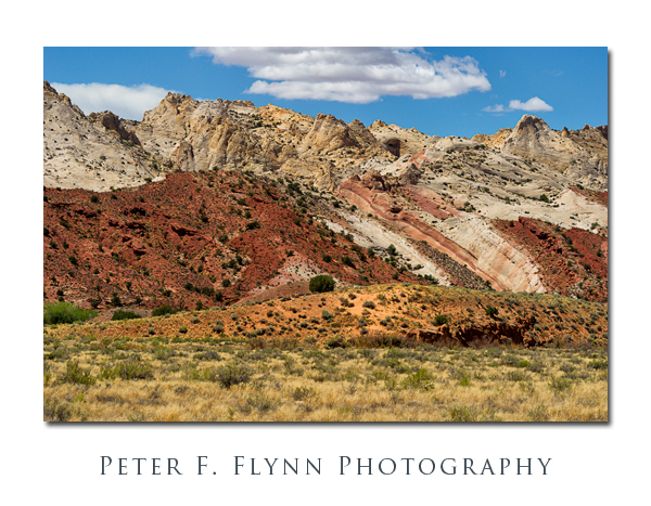
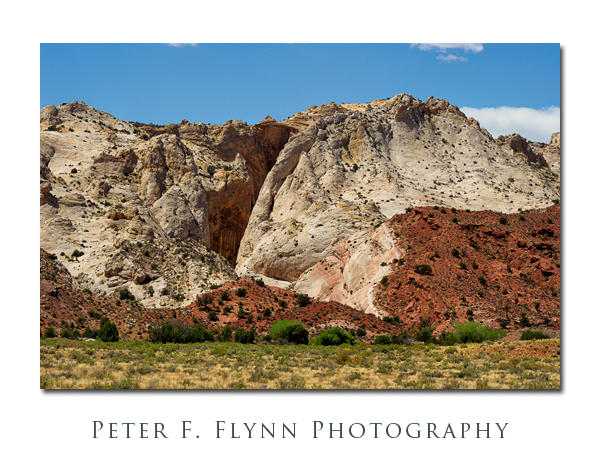
As the road continues south it continues to approach the monocline, providing impressive views of the geology. The images above (toward the northwest) and immediately below (looking west) provide a hint of what is possible. These two images were recorded from the same location at around 11:40 MDT, using the D3s and the 24-70mm f/2.8G ED. The image above was recorded at a focal length of 34mm at f/16 and 1/160s (+0.33 EV), ISO 200. The image below was record at a focal length of 38mm at f/11 and 1/250s (+0.33 EV), ISO 200.
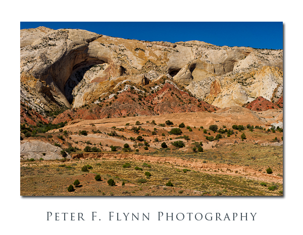
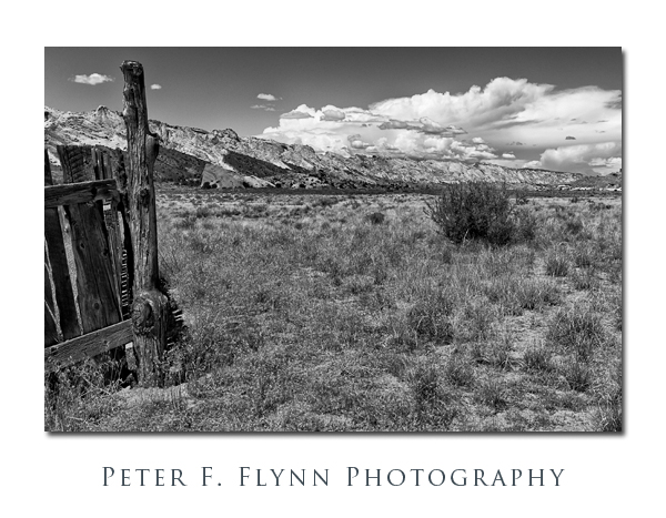
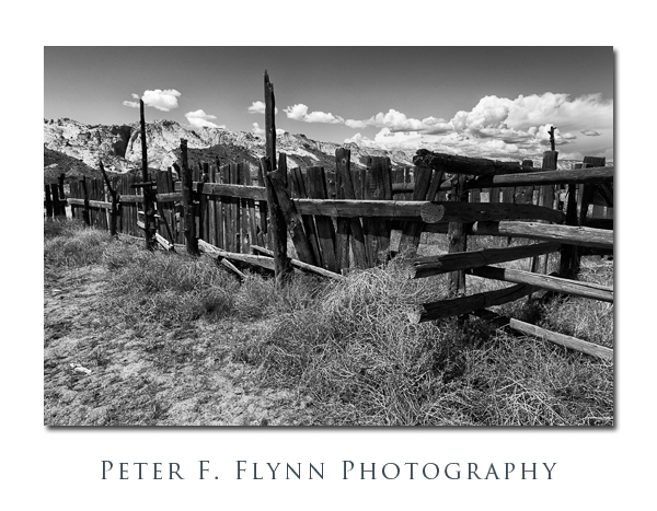
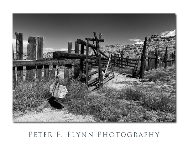
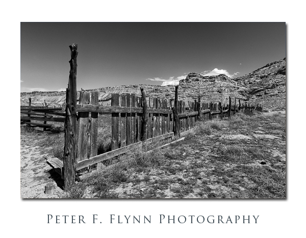
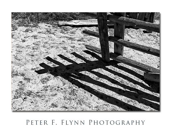
The NBR crosses over the main ridge that runs along the length and near the middle of Strike Valley at a point about 35 miles south the SR-24 junction. Just before the ridge crossing, a minor road heading directly south leads, after 0.5 miles, to the Post Corral. The Post was a stopover for cowboys working cattle herds along the Burr Trail – more on The Post in a future entry. The following four images were recorded from the Post Corral at about 13:30 MDT using the D3s and either to 24-700mm f2/2.8 lens (first image, immediately below), or the AF-S NIKKOR 70-200mm f/2.8G ED VR II at near 100mm (next three images).
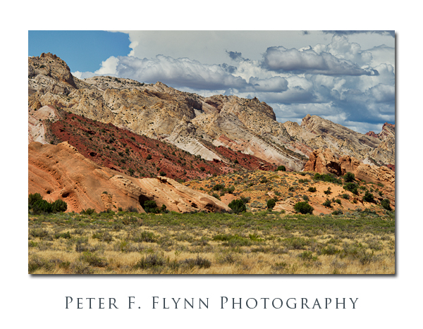
Beyond The Post, the NBR continues along for several more miles before departing The Fold as it heads southwesterly toawrds Glen Canyon NRA, The route runs along the western edge of Clay Canyon, which is itself a spectacular bit of scenery that provides a hint of what the area might have been like prior to the creation of Lake Powell.
Garfield County; wherein much of Capitol Reef NP is located, wants to pave the remaining wild sections of the NBR. Why would you want to pave a wild road? My guess is that they think it might be a good idea to invite truck-boat rigs to pass through Strike Valley. Currently, it is not feasible to haul a boat up the Notom-Bullfrog road, but if it were completely paved, you could shave about 30 miles by traveling this route. How they could possibly generate any significant revenue in the long-term with this road-paving scheme is beyond me. I’m personally against this plan for many reasons, and hope that the Garfield County commissioners find some better projects to spend County/State/Fed money on.
To state that there are no services along this patch of road misses the point. There are few people along this road. There is virtually no mammalian life along this road – at least that can be seen. There are a few, a very small number, of birds that seem to stray in from time to time. Except immediately after a deluge, there is no water along this road. If you break down along this road it may be hours, perhaps days before you are offered a rescue. If you are unprepared and your vehicle fails you, you may die. Recall the Boy Scouts motto: Be Prepared. Shovel, check. Tow lines, check. Food & abundant water, check, check. Extra fuel if you can manage it, but otherwise a full tank. First aid kit, always. We also carry the Motorola Iridium Satellite phone model 9555. It works flawlessly. We suggest that you rent or buy this phone if you travel in the Utah back country.
A list of mileages is given below:
9.1 Miles from CARE ranger station to the NBR junction
From the junction of the NBR and SR-24:
2.1 mile to first river crossing
3.9 miles to the first large growing fields
10 miles to Wayne/Garfield County line, end of the paved road north.
32.6 miles to junction with Burr Trail heading west through the Burr Trail Switchbacks (2.5 miles to top of the Switchbacks)
35 miles to Ridge Crossing (turnoff to Post Corral)
43.5 miles to junction with road that heads SE to Bullfrog Bay and return to paved road
63 miles to junction with SR-276
65.5 miles to airport
65.7 miles to Garfield/Kane county line
66.8 miles to Ferry Road Junction
68.3 miles to Bullfrog Bay boat ramp
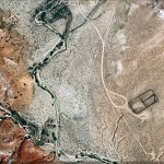
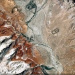
A Google Earth Image of the Post Corral appears below:
Copyright 2012 Peter F. Flynn. No usage permitted without prior written consent. All rights reserved.
