Winter is one of our favorite times to visit the Capitol Reef area. Crowds are never at the level that you find at the more popular Utah parks – Arches, or heaven-forfend, Zion in high-season – but in winter you practically have the park to yourself. The area only receives about 10 inches of annual precipitation, and much of that falls during the late-summer monsoon season, and thus the weather is generally favorable for travel throughout the park. We have never ventured into the Cathedral Valley area in winter, but our guess is that travel in this section could be quite challenging due to lingering snowfall – as always, it is advisable to consult with the park rangers. Note: although some of the hotels are open for business year-round, there is virtually no food service in Torrey until the middle of March.
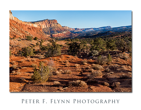
The images above and below were recorded along UT24 just west of the Visitors Center at around 15:00 MST on February 15, using the Nikon D4 and the AF-S NIKKOR 24-70mm f/2.8 ED lens (55mm and 38mm respectively). Exposures were f/16 and 1/640s (above), and f/16 and 1/500s (below), ISO at 800 (both). Handheld.
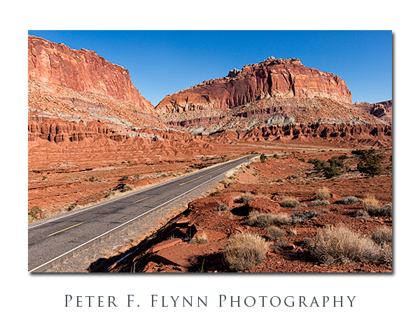
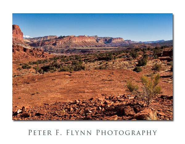
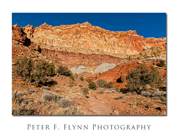
Capitol Reef encompasses at least four distinct environments: The west side, which is easily accessed along the well-paved Scenic Drive (yeah, it’s literally named that); Fruita and Fremont Canyon along Highway 24; the northern section, which includes Cathedral Valley and the South Desert, accessed by Cathedral Valley Road and the Hartnett Road; and the east side, accessed by the Notom-Bullfrog Road. In this entry we’ll review some images recorded along Scenic Drive.
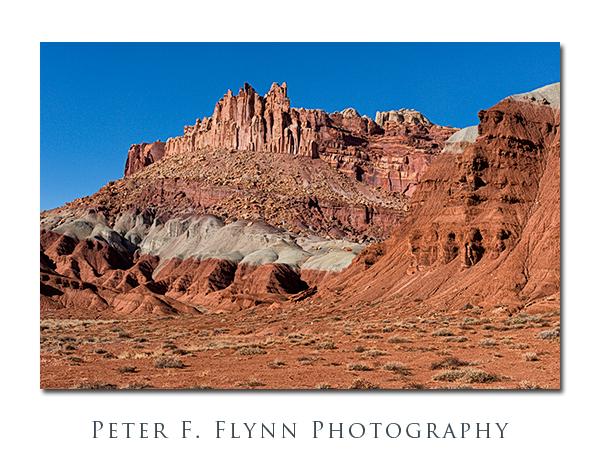
Scenic Drive begins about 1.6 miles south of the Visitors Center, just past the park campground at the Fee Station($5 to run the drive). The route tracks south-southwest for about 6.5 miles, providing excellent views of the rugged west side of the Waterpocket Fold.
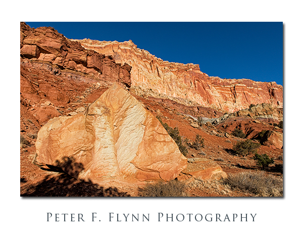
The stratigraphy of the west side of the Fold consists of layer of shale and sandstone, leading to striking contrast moving from Moenkopi shale to Chinle Formation to Wingate, Kayenta, and Navajo Sandstone layers.
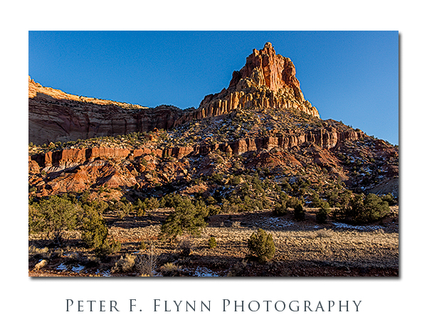
The images above and below were recorded on February 15 at about 17:00 MST using the D4 and the 24-70mm lens at f/11 with shutter speeds at ~1/500s, ISO 1250. All shots made handheld.
The image-link of Capitol Reef stratigraphy is used by permission of the United State Geological Survey. An excellent map of Capitol Reef geology may be found here.
Copyright 2013 Peter F. Flynn. No usage permitted without prior written consent. All rights reserved.