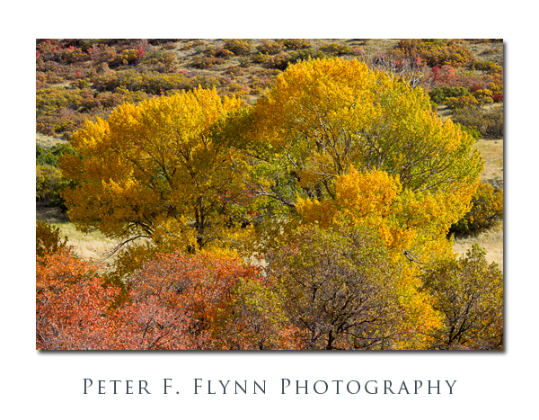
There are many excellent locations to view fall color in Utah. Although many of the best spots are within a short drive of Salt Lake City, I usually manage to miss the chance to photograph the event. Not this year though! In this entry I chart a visit to the Mount Nebo Scenic Byway, which is known around Utah simply as The Nebo Loop. The Byway is a 35 mile stretch of road that parallels I15 (thus Byway) and links Payson to the north with Utah SR 132 about 5 miles east of Nephi.
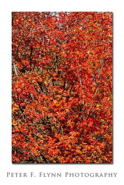

Access from the north may be gained by traveling from Payson, south along Main Street to 800 South. Turn east on 800 South and continue a couple of blocks, passing the LDS Seminary to the north to South Canyon Road. Turn southeast on to South Canyon Road, and follow the road about 0.75 miles to the junction of 600 East and the Nebo Loop Road. Access from the south may be gained by traveling east from Nephi along Utah SR 132 for about 4.8 miles to the junction of SR-132 and the Salt Creek Canyon Road. Turn north on to the Salt Creek Canyon Road and travel northeasterly for 3.3 miles to the junction with the Nebo Loop Road.
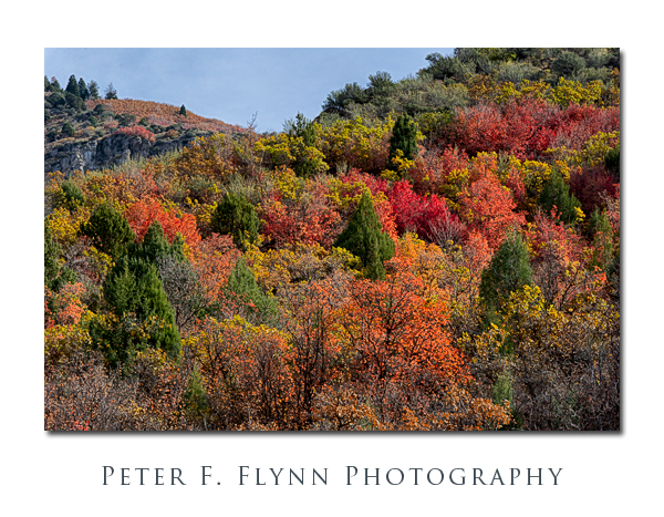
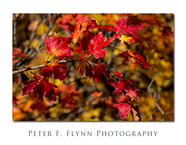
The Nebo loop Road straddles the eastern boundary of the Mount Nebo Wilderness in the Uinta National Forest. There are abundant opportunities here for outdoor adventures, including camping. Although the Byway is mostly curved, and generally a bit narrow, the road is paved and well maintained.
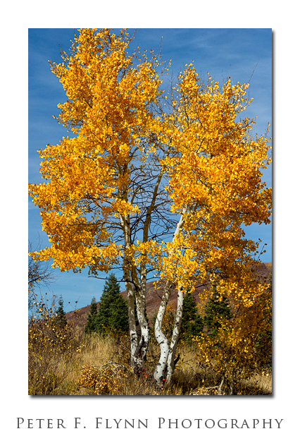
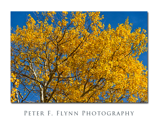
The fall color here is dominated by the red and orange hues of the abundant maple trees. Cottonwood trees and aspens also make a an important contribution as is evident in the images shown above. The color, as of October 22, was intense, and the leaves were just beginning to fall.

On this visit I traveled to the junction of the Nebo Loop Road and the Santaquin Canyon Road, then followed the latter down to a point just south of Santaquin city.
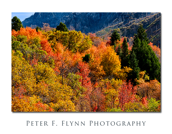

Images in this entry were recorded from late morning through late afternoon on October 22, 2011, using the Nikon D3s and the AF-S NIKKOR 24-70mm f/2.8G ED and AF-S NIKKOR 70-200mm f/2.8G ED VR II lens. Images were processed using Adobe Photoshop CS5 with PhotoKit Sharpener and Nik plugins.
If you’d like some music to go with your review of this entry, I can recommend the lovely rendition of Jeremy Lindsay’s Scattered Leaves by The Be Good Tanyas – the live version, linked HERE, is simply awesome.
Copyright 2011 Peter F. Flynn. No usage permitted without prior written consent. All rights reserved.
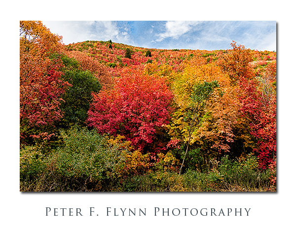 Fall color has arrived early to northern Utah. Reports from all over the Wasatch Range indicate that fall color will arrive 2-4 weeks early this year, and that the color intensity may be somewhat less than in banner seasons. We traveled to Payson, UT, to check out conditions along the Mount Nebo Scenic Byway (aka, the Nebo Loop Road). The Nebo Loop Road generally provides some of the best viewing spots – traveling from Payson up to the summit of the byway leads you from maple groves to aspen groves, or from a hue perspective, from intense orange and deep red, to fiery yellow and gold. As the image above confirms, as of September 23, 2012, the lower altitudes are well-endowed with color. The aspens higher up have not yet changed, and it is likely to be two more weeks before the groves are in full fall glory.


