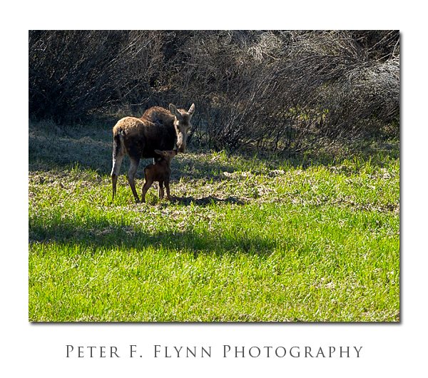
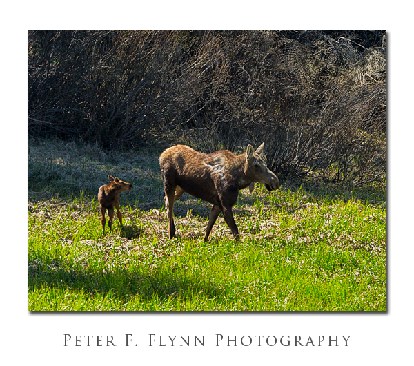
 Animal jams are most or less a constant occurrence in Grand Teton National Park. During the high season, Spring through early Winter, one or more animal jams is in effect somewhere in the park. In these events, some animal wanders close to the road, and immediately a dozen or so cars slow or stop to grab a glance and take a few snapshots. The definition of ‘close’ varies considerably of course, but generally if a big game specimen can be seen with the unaided eye, it is close enough to precipitate an animal jam.
Bear Jams are common, and tend to attract the most enthusiastic participants, however in our experience traffic in GRTE*is most frequently disturbed by Moose Jams. This is a specific condition in the the Tetons – here there be lots of Moose.
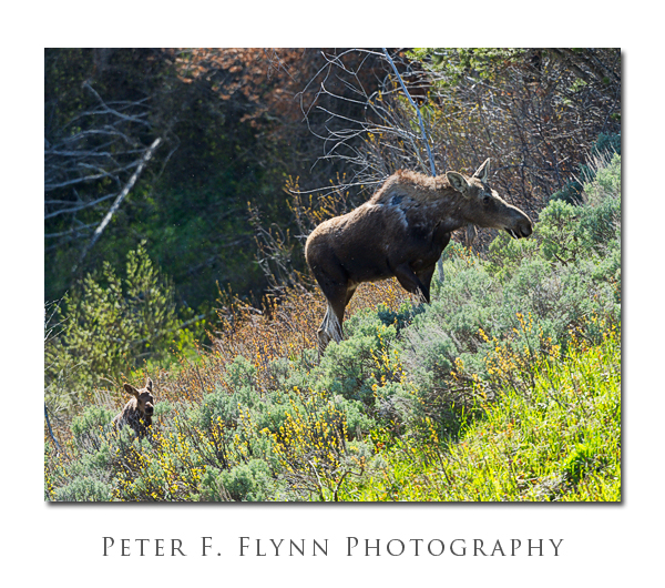
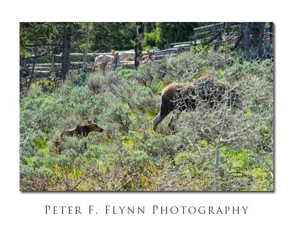
We first encountered this Moose cow and calf at around 16:30 MDT in a small field just south of Jackson Lake Lodge and just north and west of the Christian Creek Bridge. The small ponds on either sides of the Rockefeller Memorial Highway north of the Christian Creek Bridge are prime spots for viewing Moose. The pair moved north to near the junction of Highway 89 and the turnoff to Jackson Lake Lodge, and then tracked south along the west side of the road. By around 17:00 the two Moose had crossed Highway 89 and found their way to a small pond on the east side of the highway.
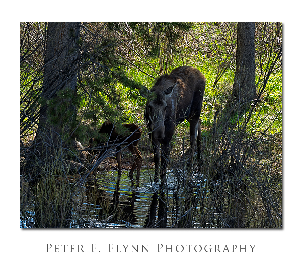
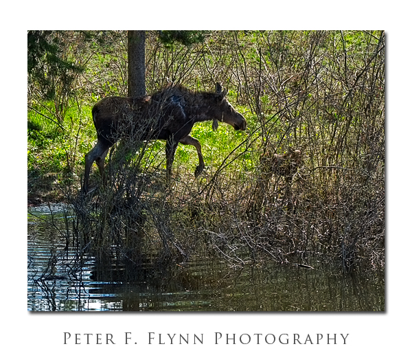 Blame it on the water. Moose just love the water, and apart from the eponymous Tetons themselves, the next most salient feature of the park is the water works. From largest to smallest, the major lakes of Grand Teton are: Jackson Lake (25,540 acres), Leigh Lake (1792 acres), Jenny Lake (1075 acres), Emma Matilda (960), Two Ocean (806), Phelps Lake (750 acres), Taggart Lake (305), Bradley Lake (225 acres), String Lake (100 acres). There are also many minor ponds, including Christian Pond, a lovely shallow lake nearby. Moose travel frequently between the lakes, searching for food, avoiding predators or the persistently inquisitive Human, and thus can often be observed in the natural paths lying between lakes.
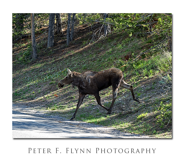
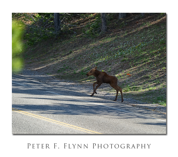 Of course, and as the images in this entry will verify, the water-rule for finding Moose is only part of the hint. The other important condition is that Moose are most likely to appear in one of three unfortunate situations: 1) at a position between the sun and the photographer; 2) in deep shadow; or 3) in deep shadow and in a spot between the sun and the photographer. Sometimes Moose make a mistake and appear in more favorable spots, but you can be certain that they won’t dally, they know the rules…
Images in this gallery were recorded between 16:30 and 17:10 (MDT) on June 3, 2011, using the Nikon D3s and the AF-S VR Zoom-NIKKOR 200-400mm f/4G IF-ED lens at 400mm. All exposures were made at f/5.6, with shutter speeds between 1/500s and 1/1250s, ISO at either 640 or 1250.
A Google Maps image of the Jackson Lake Lodge area is found here.
* I have switched to the official (National Park) acronym for Grand Teton National & the John D. Rockefeller Parkway.
Copyright 2011 Peter F. Flynn. No usage permitted without prior written consent. All rights reserved.
