The section of US Highway 89 running along the Arizona/Utah boarder between Kanab, UT and Page, AZ is easily one of world’s prettiest stretches of road. Tucked between the Grand Staircase-Escalante and Vermillion Cliffs National Monuments, the highway provides ready access to a couple of lifetime worth of explorations. Roads heading south from US89 lead to some of the most famous trails in the southwest, including Buckskin Gulch, Coyote Buttes, Paria Canyon, White House, and Wire Pass.
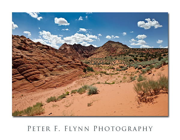
The image above, near the entrance to the Buttes, was recorded on August 25, 2009 at about 13:00 MST, using the Nikon D700 and the AF-S NIKKOR 24-70mm f/2.8G ED. Exposure was f/16 and 1/250s at an ISO 200. The image was underexposed relative to the meter by 2/3 EV.
The Coyote Buttes trail shares a trailhead with the Buckskin Gulch and Wire Pass trails, and is reached by driving south from US89 along House Rock Valley Road at the point where the Cockcomb crosses the highway (~38 miles east of Kanab or ~34 miles west of Page). The section featured here is named Coyote Buttes North to distinguish it from, well duh, Coyote Buttes South, and the two sections are regulated differently by the BLM – the main difference being the presence of The Wave in the North section.
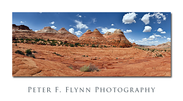
 The image above, of the teepees of the North Coyote Buttes, was recorded on August 25, 2009 at 14:30 MST using the Nikon D700 and the AF-S NIKKOR 24-70mm f/2.8G ED at 36mm. The exposure was f/16 and 1/160 at an ISO of 200. The image was cropped from a panoramic image generated using 10 images, stitched together using AutoPano Pro.
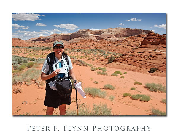
And of course let’s not forget to include a snap of the HP, without whose efforts this entire set of shots would be a color balance disaster.

